All Destinations
Expedition Intelligence·Northern California, California

The Rubicon Trail

The crown jewel of American off-roading

Difficulty: 10/10Duration: 2-3 DaysDistance: ~22 milesElevation: 6,100 - 7,150 ftSeason: July - October

OVERVIEW

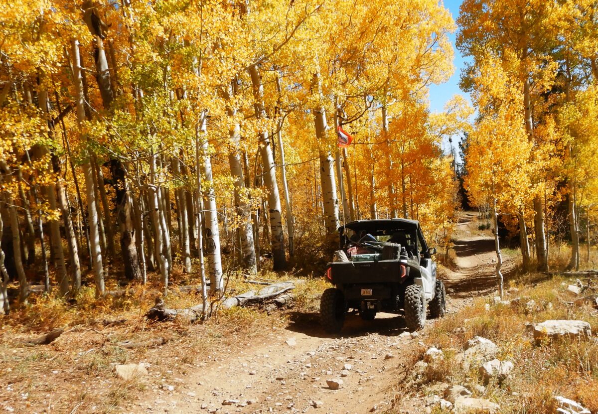
The Rubicon Trail is a legitimate badge of honor — a 22-mile extreme rock crawling route through the Sierra Nevada mountains of Northern California. The trail runs from Loon Lake (near Georgetown) to Tahoma on the shores of Lake Tahoe, climbing through towering pine forests, crystal-clear streams, and entire hillsides of white granite. Key obstacles include The Gatekeeper, Little Sluice, Big Sluice, and Cadillac Hill. Rubicon Springs provides a stunning campsite with natural hot springs at the trail's midpoint. This is a multi-day commitment — most groups take 2-3 days to complete the full traverse. Lockers, 35-inch tires, and skid plates are strongly recommended. Travel in groups of at least two vehicles.

The Rubicon Trail
EXPEDITION INTELLIGENCETRAIL READINESS
63READY
FAIR
Weather
69
Season
55
Trail
60

INTERACTIVE TRAIL MAP

All 10 trail stops, 4 campgrounds, 4 restaurants, and 6 points of interest plotted on the map with the GPX route.

Interactive Trail Map
1. Loon Lake Trailhead
2. The Gatekeeper
3. Walker Hill
4. Little Sluice
5. Big Sluice
6. Buck Island Lake
7. Rubicon Springs
8. Cadillac Hill
9. Spider Lake
10. Tahoma / Lake Tahoe Exit
Rubicon Springs
Buck Island Lake
Wentworth Springs Campground
Loon Lake Campground
50 Grand Restaurant and Bar
Sportsman's Hall
Uncle Tom's Cabin
River Ranch Lodge
Loon Lake
Rubicon Springs Hot Springs
Jeepers Jamboree Start
Lake Tahoe Overlook
Desolation Wilderness Boundary
Georgetown Historic District
Google
Map data ©2026 Google
Trail Stops (10)
campgrounds (4)
restaurants (4)
Points of Interest (6)
Rubicon Trail (Loon Lake → Tahoma)