All Destinations
Expedition Intelligence·Northern Utah, Utah
Skyline Drive & Wasatch Backcountry
Alpine ridgelines above the Salt Lake Valley
Difficulty: 5/10Duration: 2-3 DaysDistance: ~85 miles of trailsElevation: 5,200 - 10,400 ftSeason: June - October
OVERVIEW
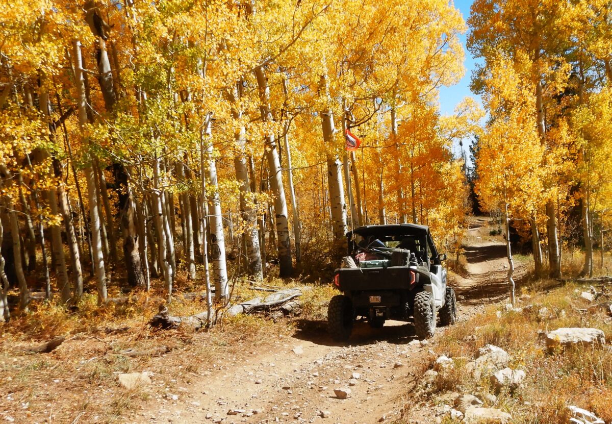
Northern Utah offers a unique blend of alpine meadows, dense aspen forests, and rocky ridgeline trails just minutes from civilization. The Wasatch Range rises dramatically from the Salt Lake Valley floor, and a network of forest roads and 4x4 trails crisscross the high country between Big Cottonwood Canyon and Provo Canyon. The crown jewel is Skyline Drive, a ridge-top trail that offers 360-degree views of the entire region.
EXPEDITION INTELLIGENCETRAIL READINESS
44READY
CAUTION
Weather
34
Season
75
Trail
24
INTERACTIVE TRAIL MAP
All 8 trail stops, 4 campgrounds, 4 restaurants, and 6 points of interest plotted on the map with the GPX route.
Interactive Trail Map

Trail Stops (8)
campgrounds (4)
restaurants (4)
Points of Interest (6)
Wasatch Backcountry Loop